Latitude & Longitude Worksheets
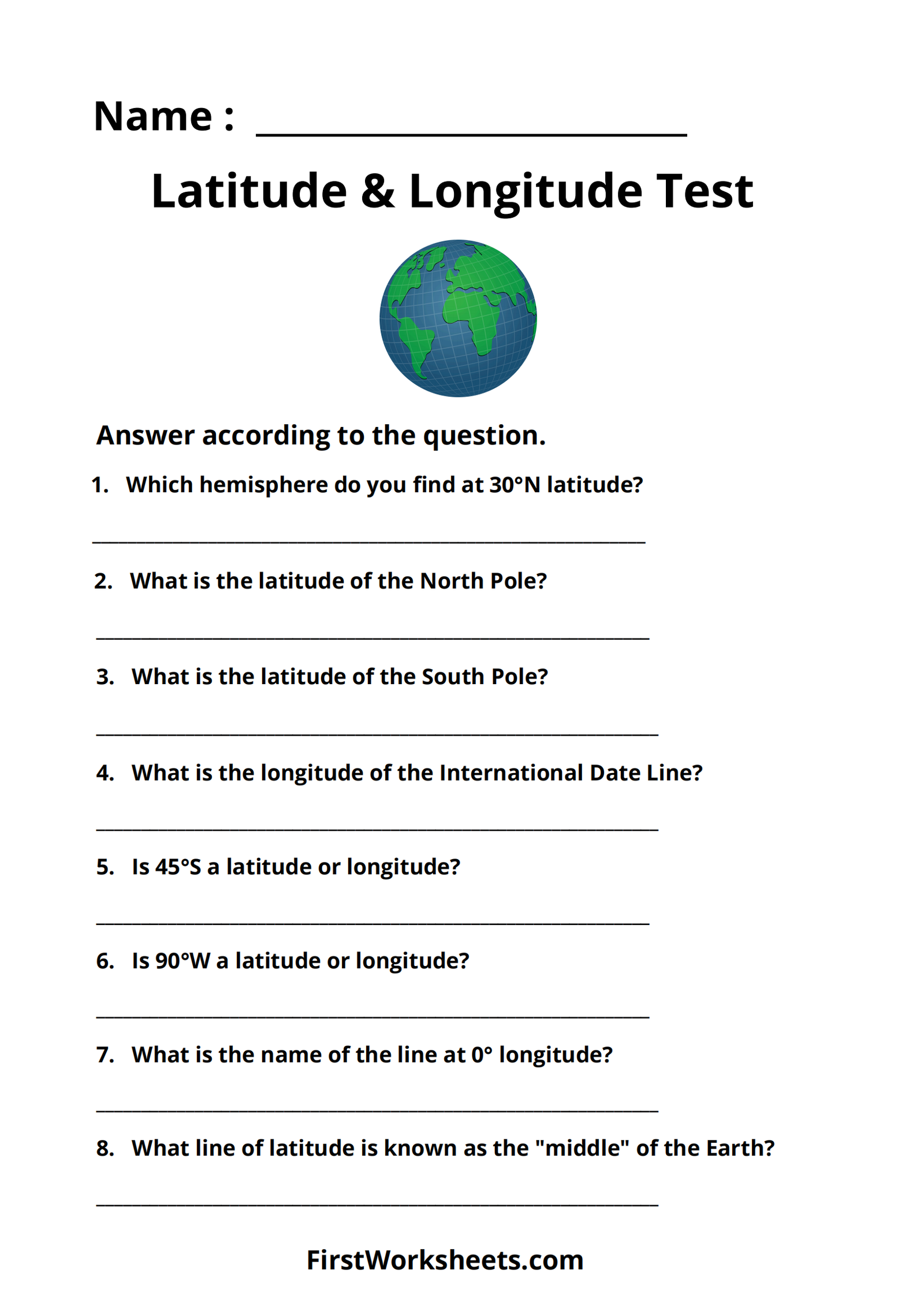
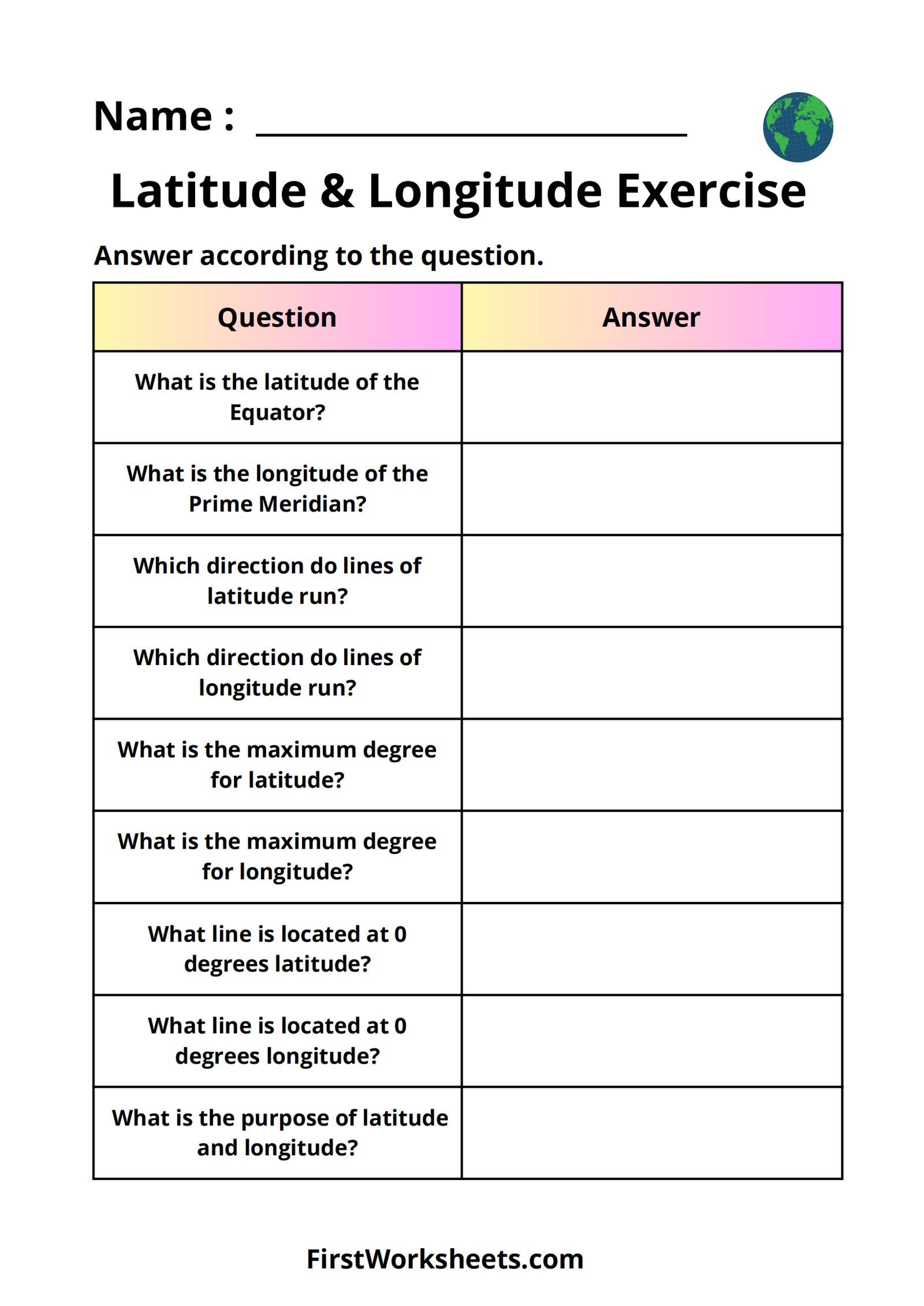
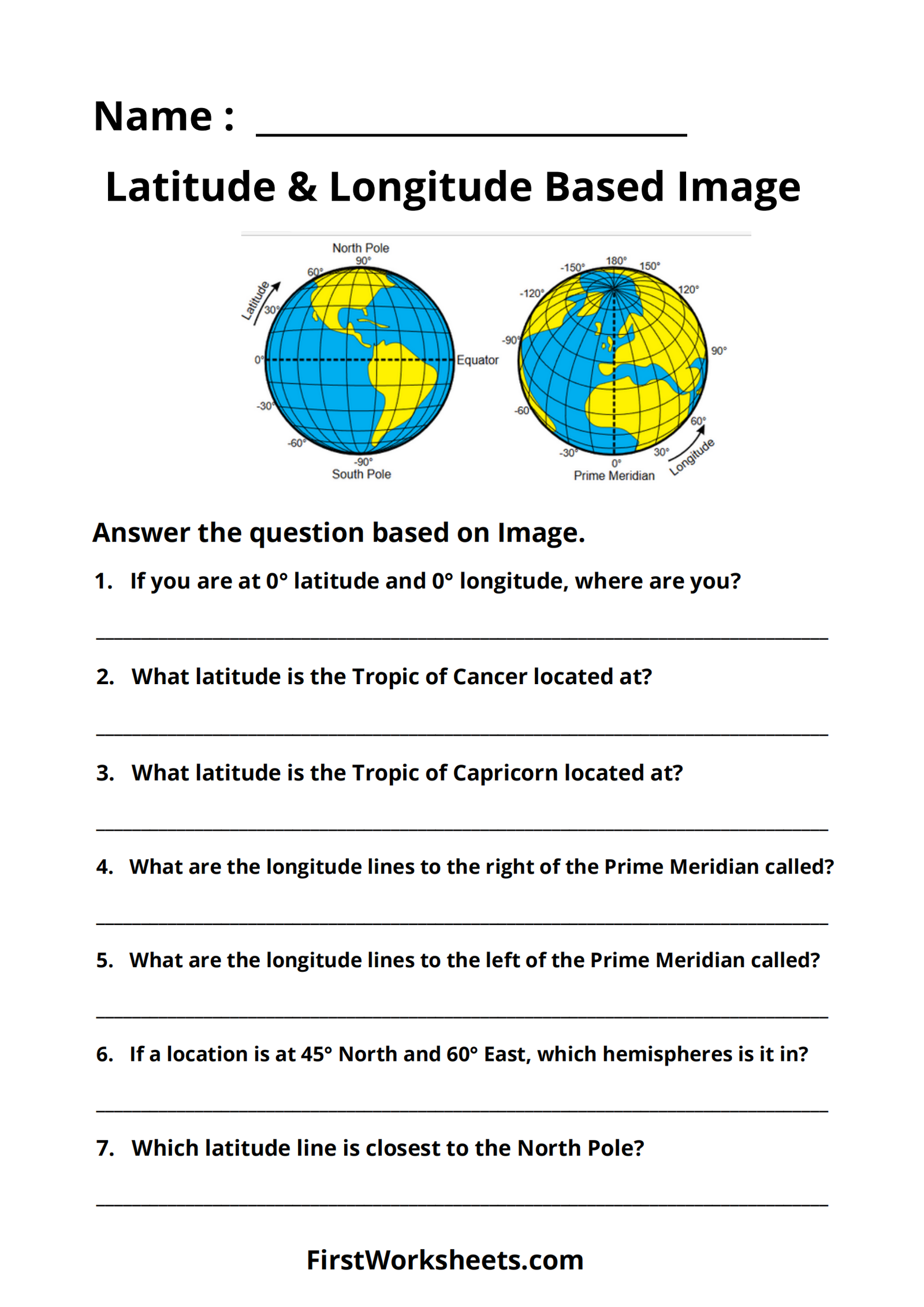
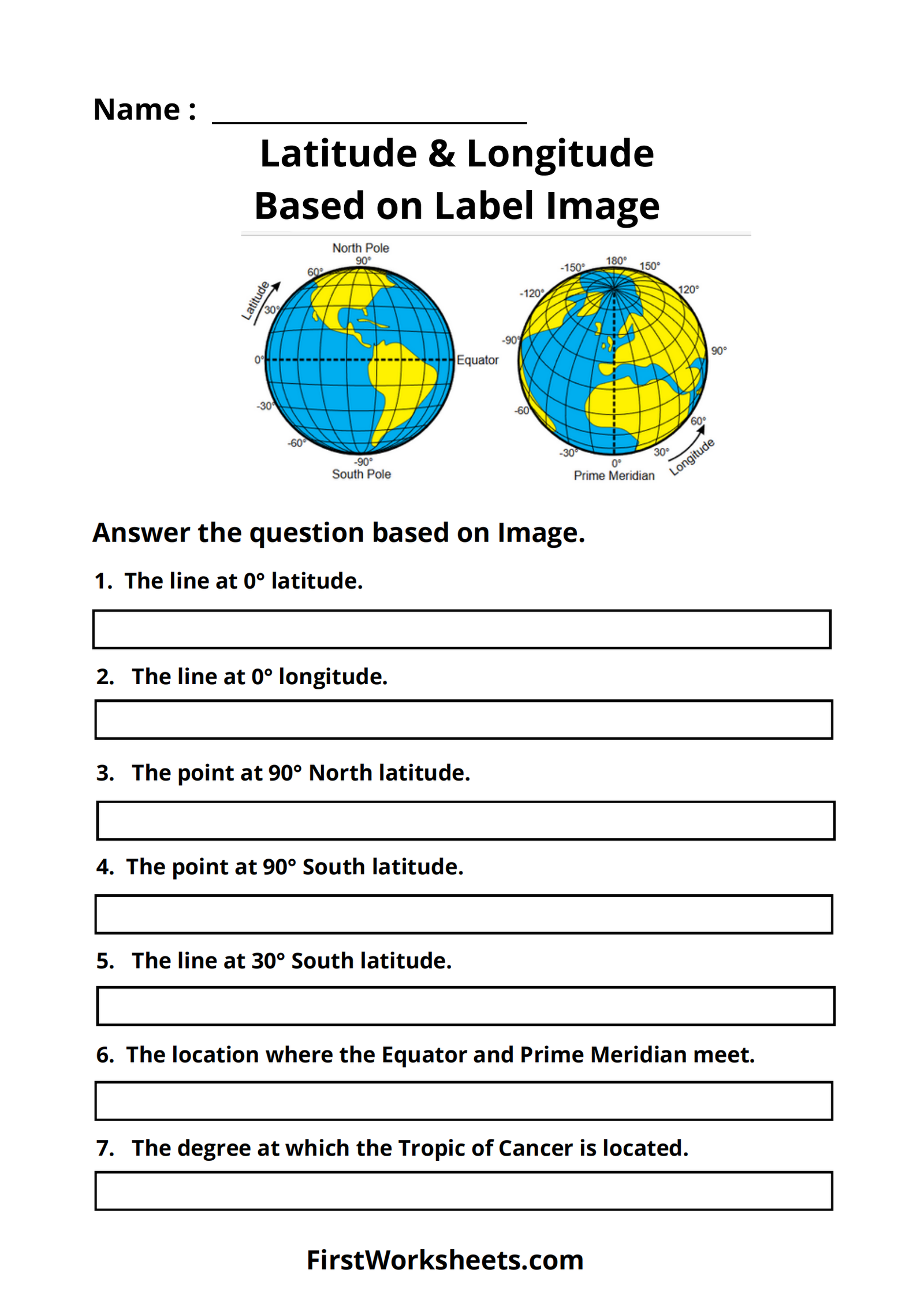
Latitude and longitude worksheets are designed to introduce students to the basics of geographic coordinates and how to locate places on a map using these systems. At this age, students are typically learning the fundamental concepts of geography, including the Earth’s structure, and maps, and how to read them. Here’s an in-depth explanation of what these worksheets typically include and how they benefit 4th-grade students:
Introduction to Latitude and Longitude
- What is Latitude?
- Latitude refers to the imaginary lines that run horizontally around the Earth, parallel to the Equator. It measures how far north or south a location is from the Equator, which is designated as 0 degrees latitude. The North Pole is at 90 degrees north, while the South Pole is at 90 degrees south.
- Worksheets for this concept often include diagrams of the Earth with lines of latitude drawn, where students label important latitudes like the Equator, Tropic of Cancer, and Tropic of Capricorn.
- What is Longitude?
- Longitude refers to imaginary lines that run vertically from the North Pole to the South Pole, intersecting at both poles. It measures how far east or west a location is from the Prime Meridian, which is set at 0 degrees longitude in Greenwich, England. Longitude lines range from 0 to 180 degrees east or west.
- Worksheets might feature maps showing these lines and ask students to identify or label major longitudinal lines like the Prime Meridian and the International Date Line.
Understanding Coordinates
- Combining Latitude and Longitude:
- Latitude and longitude work together to give the exact location of a place on Earth. Coordinates are written with latitude first (e.g., 40° N, 74° W).
- Worksheets often include practice exercises where students are given coordinates and must find or mark the location on a map. They may also be given a map with locations marked and asked to write the corresponding coordinates.
- Practice with Maps:
- A critical skill taught at this stage is reading maps that include a grid of latitude and longitude lines. These worksheets help students become comfortable with reading and using this grid system to identify the locations of different cities, landmarks, or natural features.
Activities Included in Worksheets
- Matching Exercises:
- Students might match coordinates with a list of places, helping reinforce their understanding of how the coordinate system corresponds to actual locations on Earth.
- Fill-in-the-Blank Maps:
- Worksheets may provide a blank map with only latitude and longitude lines, and students have to place certain cities or landmarks at their correct coordinates. This helps in developing spatial awareness.
- Coordinate-Based Scavenger Hunts:
- These worksheets might involve fun activities where students follow a series of latitude and longitude clues to find hidden “treasures” on a map, helping make the concept more engaging.
- Drawing Practice:
- Some worksheets ask students to draw the Equator, Prime Meridian, and other significant latitude or longitude lines themselves, reinforcing their understanding of the map’s layout.
Building Math and Geography Skills
- Understanding Degrees and Directions:
- Worksheets help students get familiar with reading degrees, which involves numbers and directions (north, south, east, west). This is an early introduction to concepts that will later be important in math and science.
- Developing Map Skills:
- By working with latitude and longitude, students improve their ability to use maps and atlases, an essential geography skill. This lays the groundwork for more advanced map-reading skills in later grades.
- Problem-Solving Skills:
- Finding locations or plotting points based on coordinates requires students to think critically and follow directions carefully. It is a way to practice problem-solving in a fun, practical context.
Latitude and longitude worksheets serve as a bridge between learning about maps and understanding the global grid system that allows us to pinpoint any location on Earth. By providing a mix of theoretical and practical exercises, they help students build a strong foundation in geography and spatial thinking.


