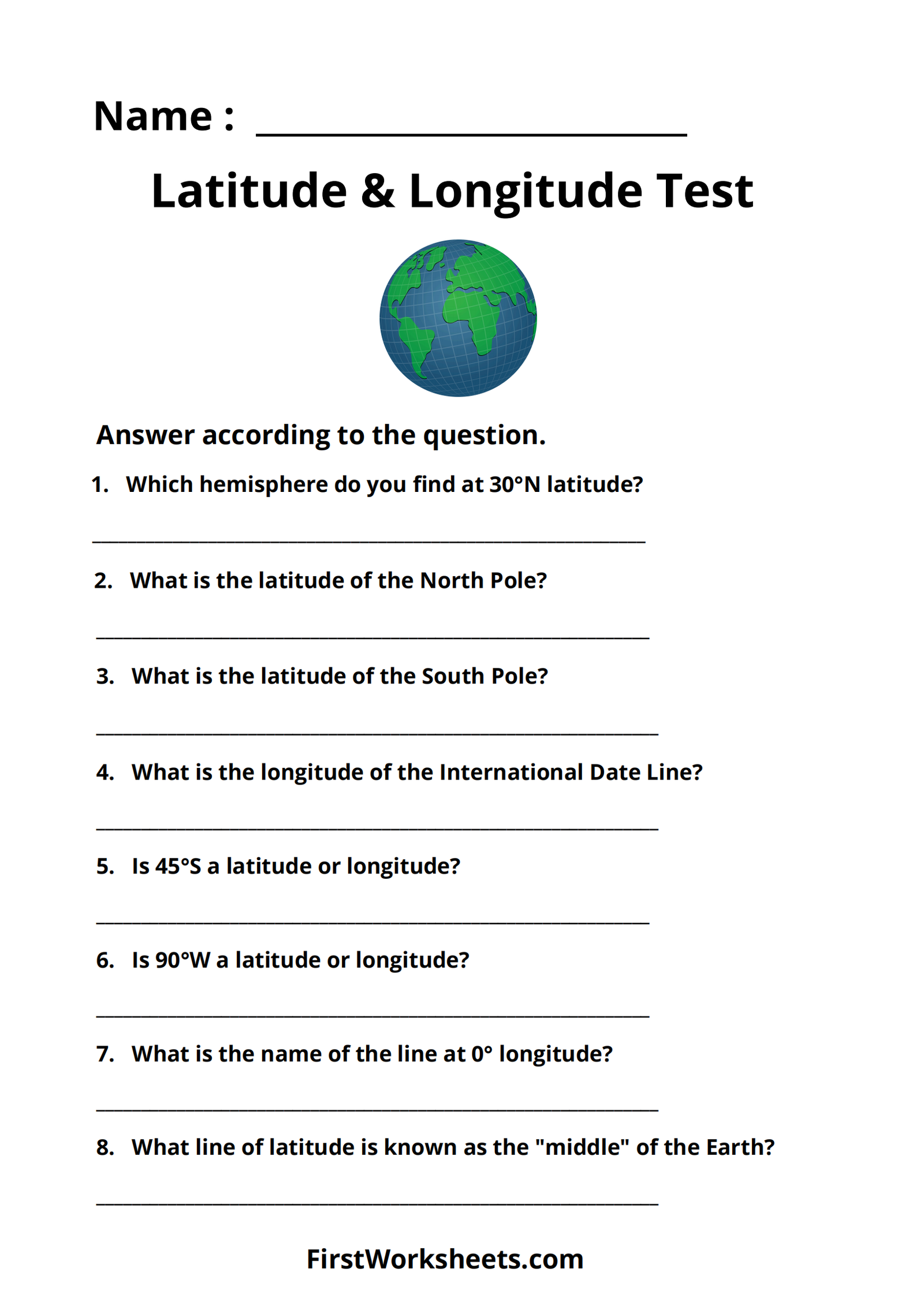
This worksheet focuses on Latitude and Longitude, which are the geographic coordinates used to pinpoint locations on Earth. Latitude lines run horizontally, measuring distance north or south of the Equator, while Longitude lines run vertically, measuring distance east or west of the Prime Meridian.
Purpose of the Worksheet:
- Assess Understanding: The questions evaluate a student’s knowledge of key concepts like hemispheres, poles, the Equator, the Prime Meridian, and the International Date Line.
- Reinforce Learning: By answering these questions, students solidify their understanding of how latitude and longitude work together to define locations.
- Practice Reading Coordinates: Students practice interpreting and identifying latitude and longitude values.
Key Concepts Covered:
- Hemispheres: The Earth is divided into Northern/Southern (by the Equator) and Eastern/Western (by the Prime Meridian) hemispheres.
- Latitude: Lines of latitude, also called parallels, range from 0° at the Equator to 90° at the poles (North and South).
- Longitude: Lines of longitude, also called meridians, range from 0° at the Prime Meridian to 180° at the International Date Line (East and West).
- Important Lines:
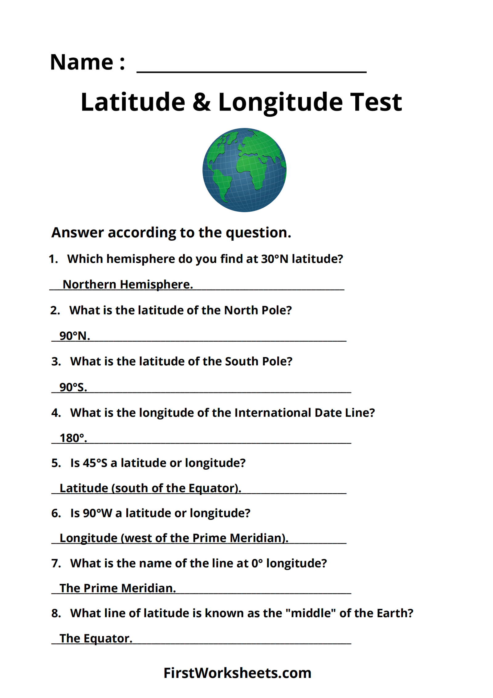
- Equator: 0° latitude, divides the Earth into Northern and Southern hemispheres.
- Prime Meridian: 0° longitude, divides the Earth into Eastern and Western hemispheres.
- International Date Line: 180° longitude, marks the change of calendar day.
- North Pole: 90° North latitude.
- South Pole: 90° South latitude.
This worksheet provides a concise way to test and reinforce students’ understanding of latitude and longitude, essential components of geography and navigation.

Answer Key
